OLALLA WEATHER

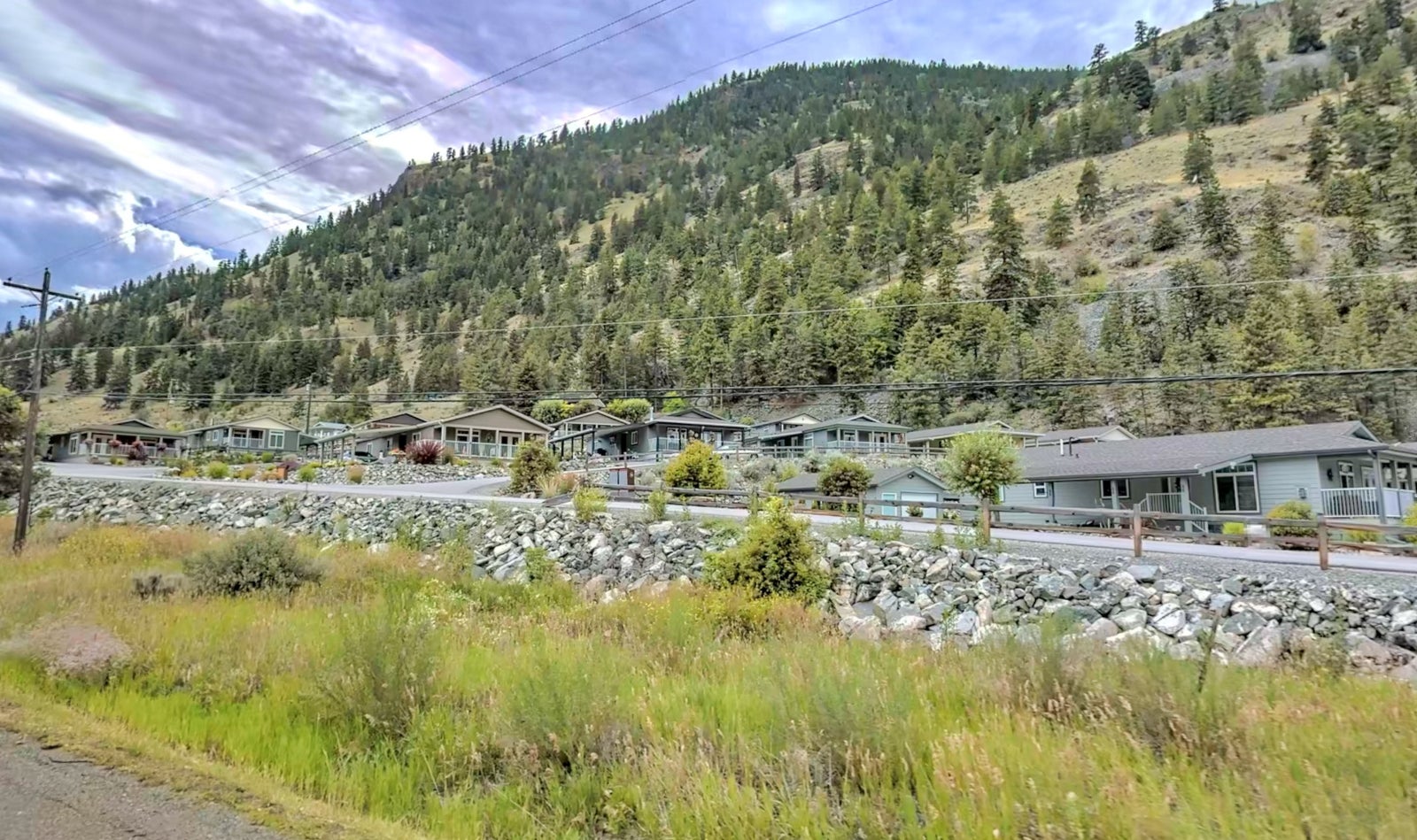
Located at the gateway to the South Okanagan region of the Southern Interior of British Columbia, Olalla is an unincorporated community just north of Keremeos and a 20 minute drive to Penticton. The area is surrounded by rugged mountains and enjoys a hot, dry climate with mild winters.


The Community

Situated along Highway 3, Olalla is an affordable bedroom community for Penticton and Keremeos with a population of 387 (2016). The RDOS administers the community water system in Olalla through a deep groundwater well and currently supplies approximately 200 properties. There is no community sewer system for this area. 
Olalla Neighborhood
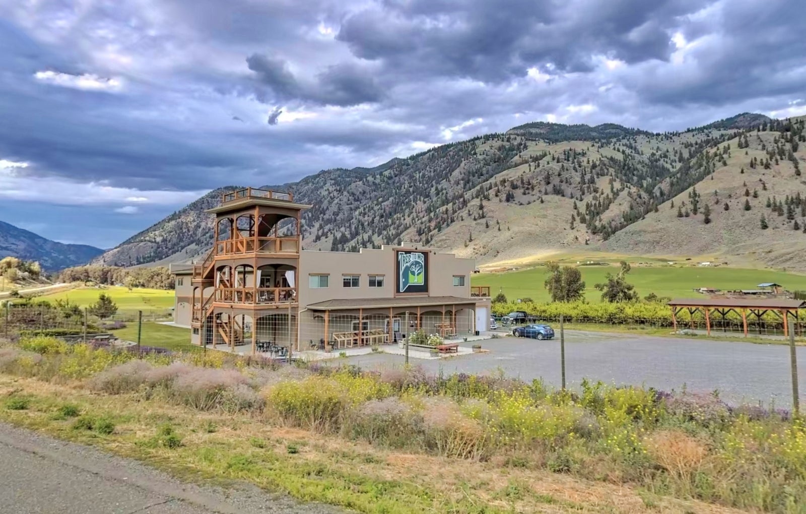
Tree to Me Olalla

Tree To Me

Situated in the organic capital of the stunning Similkameen Valley, the organically inspired bistro/Inn hybrid market is a unique place to stay, eat and shop for quality organic fruit, vegetables and ingredients and enjoy fresh from the farm dishes or inspire your own delicious creations.

Grab Your Golf Gear

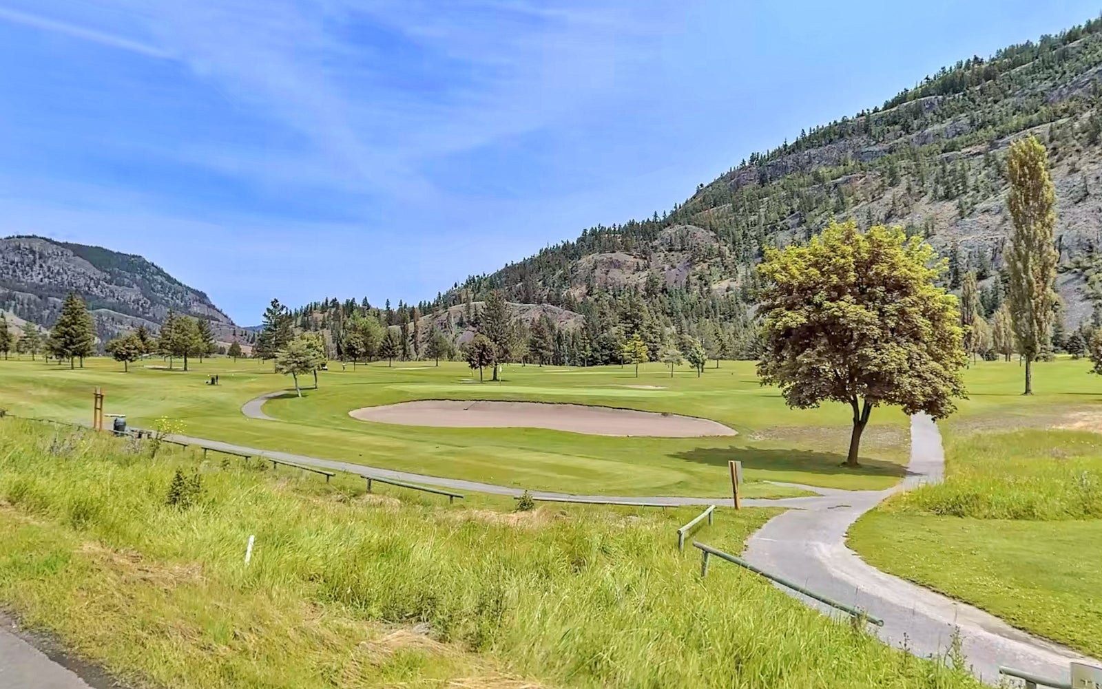
A 12 minute drive north from Olalla brings you to the Twin Lakes Golf Course. This 18 hole course is located in a beautiful mountain setting and is surrounded by rock cliffs. This golf course also features an RV park and has nearby lakes stocked full of trout. Whether its golfing or hiking, there is so much to explore all around!
Twin Lakes Golf Course
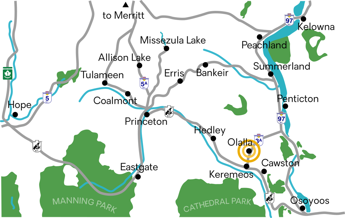
Olalla Map

How To Get There


Olalla is located along Highway 3A, between Keremeos and Penticton and can be accessed from the North or South.

Princeton: 48 minutes (72.2)
Penticton: 33 minutes (39.8 km)
Kelowna: 1 hour and 20 minutes (100 km)